Esri Living Atlas: Geospatial Seminar Series
ESRI Living Atlas with Jim Herries
An Hour with ArcGIS Living Atlas May Save You Weeks of Time
Description
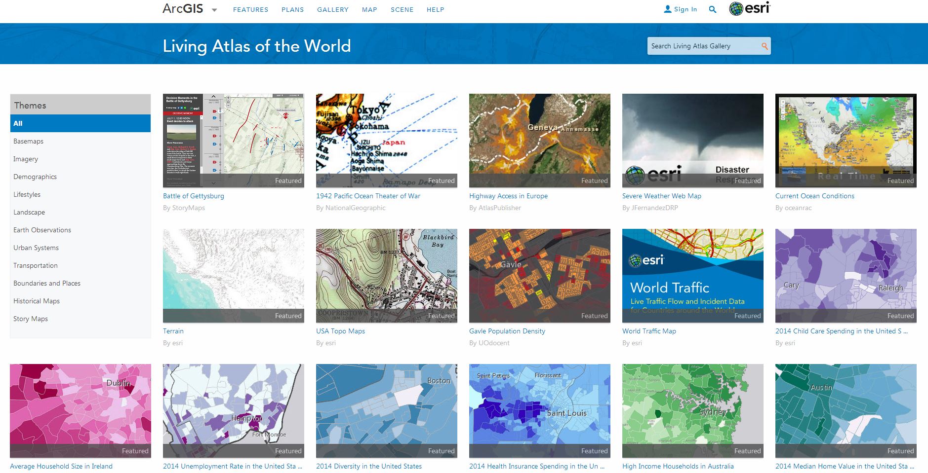
ArcGIS includes ready-to-use-content available in ArcGIS Living Atlas of the World. It’s the foremost collection of worldwide geographic information, containing layers, maps, apps, and much more from Esri, our partners, distributors, and the global GIS community. It is very much a Living Atlas. The content is curated, authoritative, and continually updated. The most significant role of Living Atlas is in delivering immediate value to you, in whatever part of the ArcGIS system you find yourself working. It’s deeply integrated and integral to ArcGIS Pro, Enterprise, and Online. It’s also used in field apps, business apps, and a lot more. It is the foundation upon which our users build their maps and apps, support workflows, perform analysis, and communicate and share their knowledge with others. In this hands-on session, you will see how to search for content in Living Atlas relevant to a given topic. Participants are encouraged to search and try things out during the session.
Bio
Jim Herries is a geographer with Esri in Redlands, California. He serves as Senior Principal Product Engineer and Product Engineering Lead, Cartography on the team responsible for ArcGIS Living Atlas of the World. Jim is particularly engaged in thematic mapping and map visualizations, reflecting a drive to help GIS users bring their data to life on the map and stimulate insights. He constantly looks for ways to create clear, focused map information products that incorporate meaningful spatial analysis and evocative visualizations. When he started in GIS at Ohio State, he walked over to the campus library to transcribe census data by hand to paper so that he could hand-enter it into spreadsheets for upload into Arc/INFO for mapping and analysis. He appreciates having access to good data as a starting point for great work.
Open to all, registration below.
This event is the last of the UAL Data Cooperative Geospatial Seminar Series. Click here to view other events in this spring series.

Related LibGuide: GIS & Geospatial Data by Garrett Smith
- Date:
- Thursday, April 21, 2022
- Time:
- 10:00am - 11:00am
- Location:
- Virtual
- Categories:
- Workshops Lecture/talk


